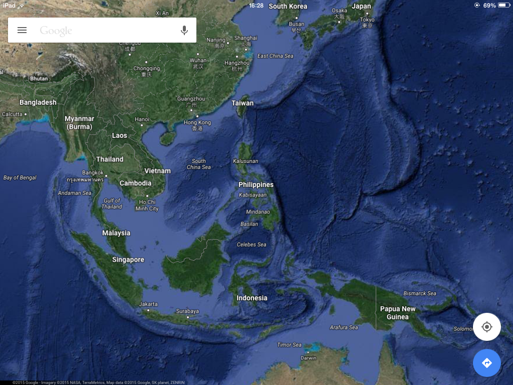
Maps in the 21st Century, such as this screen capture of Google maps, are readily available for anyone with an internet connection. It uses a variety of different data sets to bring together a functional map. It uses satellite data, shows seabed formations, gives traffic information whilst giving directions, has peer-sourced images and street-view. Simply astounding how all this information has been democratized.
Recently, I had the intention to engage with a call for papers entitled
“International Law’s Objects: Emergence, Encounter and Erasure through Object and Image”. Unfortunately, in light of doctoral writing and other publication timelines, it became clear that it was unlikely that I could give the proposed contribution the attention it required. So, rather regretfully, I decided to give the call a miss.
Continue reading →