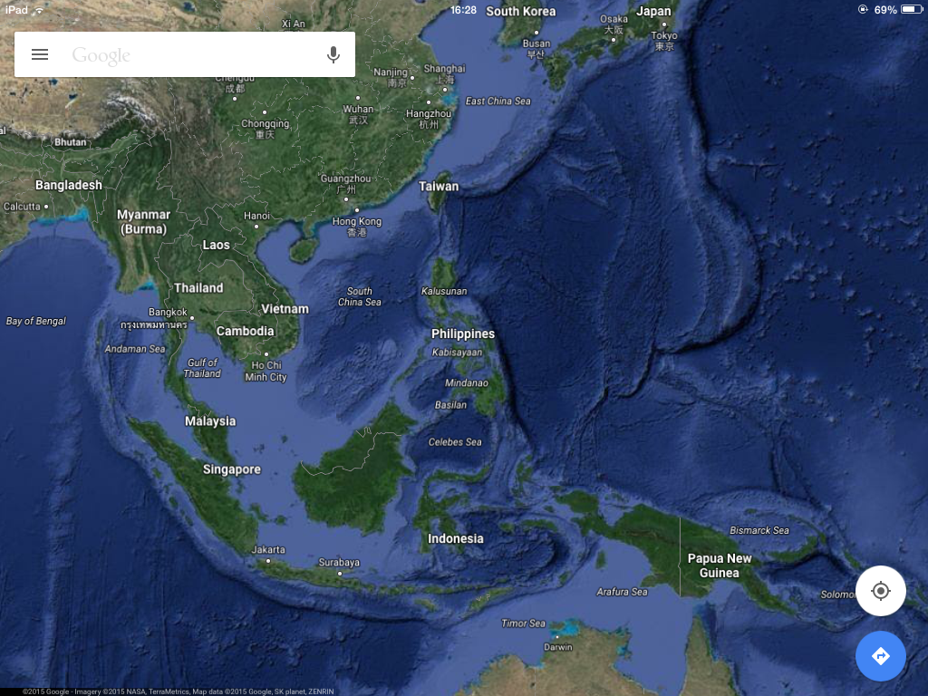
Maps in the 21st Century, such as this screen capture of Google maps, are readily available for anyone with an internet connection. It uses a variety of different data sets to bring together a functional map. It uses satellite data, shows seabed formations, gives traffic information whilst giving directions, has peer-sourced images and street-view. Simply astounding how all this information has been democratized.